
Get the data you can build on.
Whether you are planning a new development, need precise land surveys, or require an expert , our team is ready to bring your vision to life.
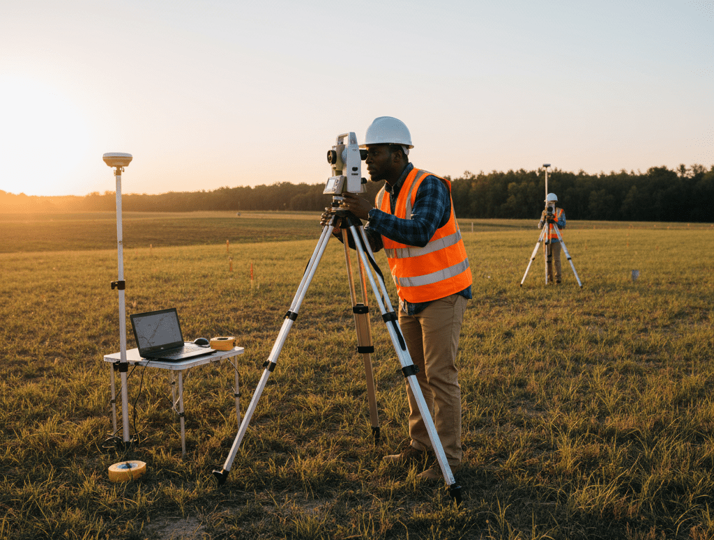
Accurate data is the foundation of every successful project and that is exactly what we deliver.
At Harris MK ltd, our land surveying team combines modern equipment, proven techniques, and years of experience to provide precise measurements that eliminate costly errors and delays.
Whether you’re developing residential property, planning infrastructure, or securing land boundaries, we ensure every coordinate counts.
Detailed mapping to support planning, design, and construction.
Clear, legally recognized property boundaries for ownership confidence.
Accurate on-site positioning to guide flawless construction execution.
Data-driven insights for roads, bridges, and infrastructure projects.
Professional support for land division, registration, and compliance.
We use advanced surveying tools and GPS systems for data you can depend on.
Our team is fully certified and compliant with Kenyan surveying standards.
We prioritize fast turnaround times without compromising precision.
Our surveyors work closely with our architects and engineers for seamless project execution.
Whether you are planning a new development, need precise land surveys, or require an expert , our team is ready to bring your vision to life.